Personalised Old OS Map Print Float Mounted Frame
Personalised Old OS Map Print Float Mounted Frame
- ✓ Fast Shipping
- ✓ Eco-friendly materials
- ✓ Licenced OS Partner

Couldn't load pickup availability
Delivery & international info
Remote areas may take longer or incur a higher rate.




Follow us @blimandblum *
The story
About this print
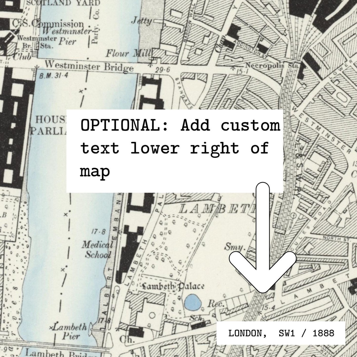
A personalised historic Ordnance Survey map print centred on any location in Great Britain. We use the OS County Series (1888–1913) as standard, so you get the streets, field boundaries and place names as they were over a century ago. Add optional custom text in the lower right — a place name, names, or a date.
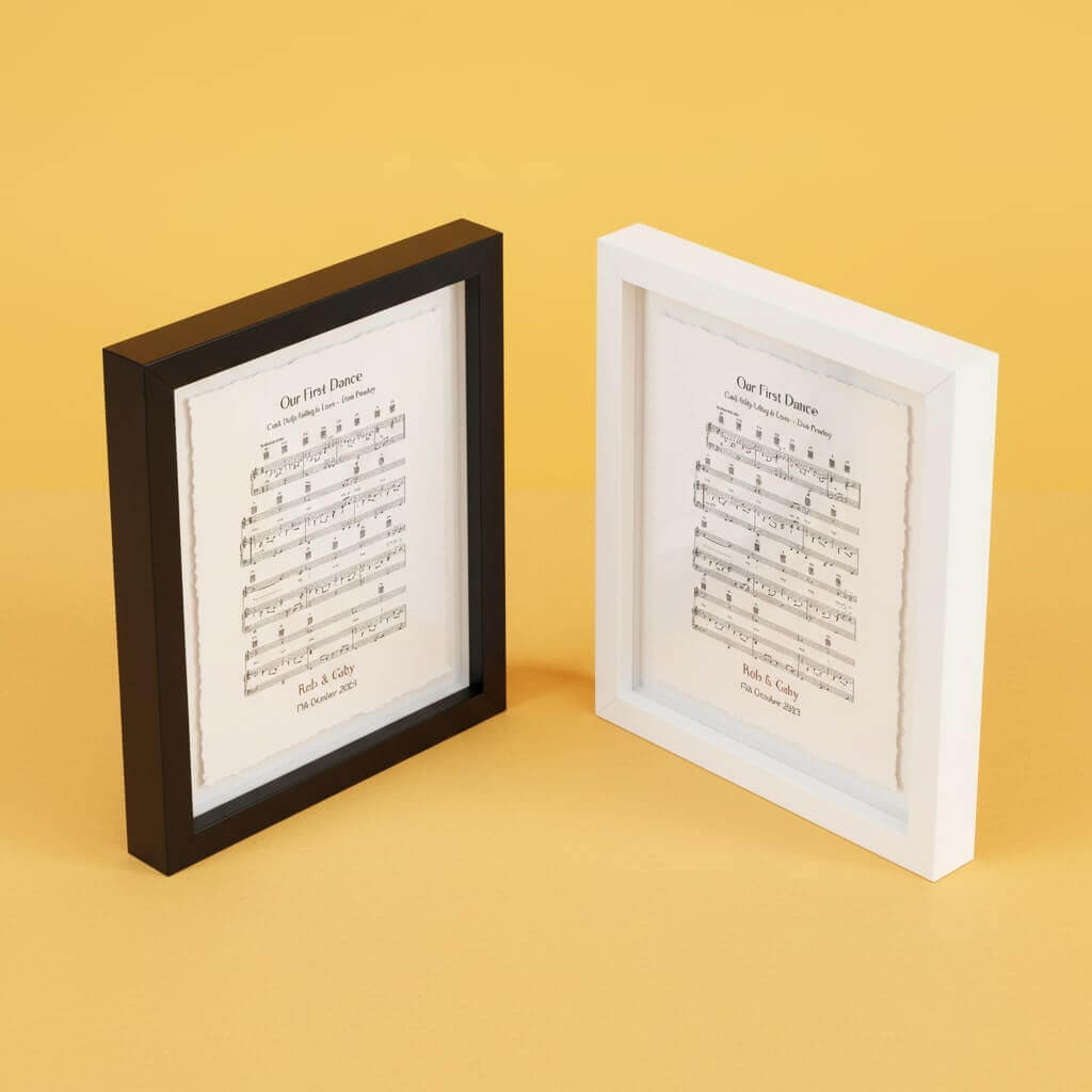
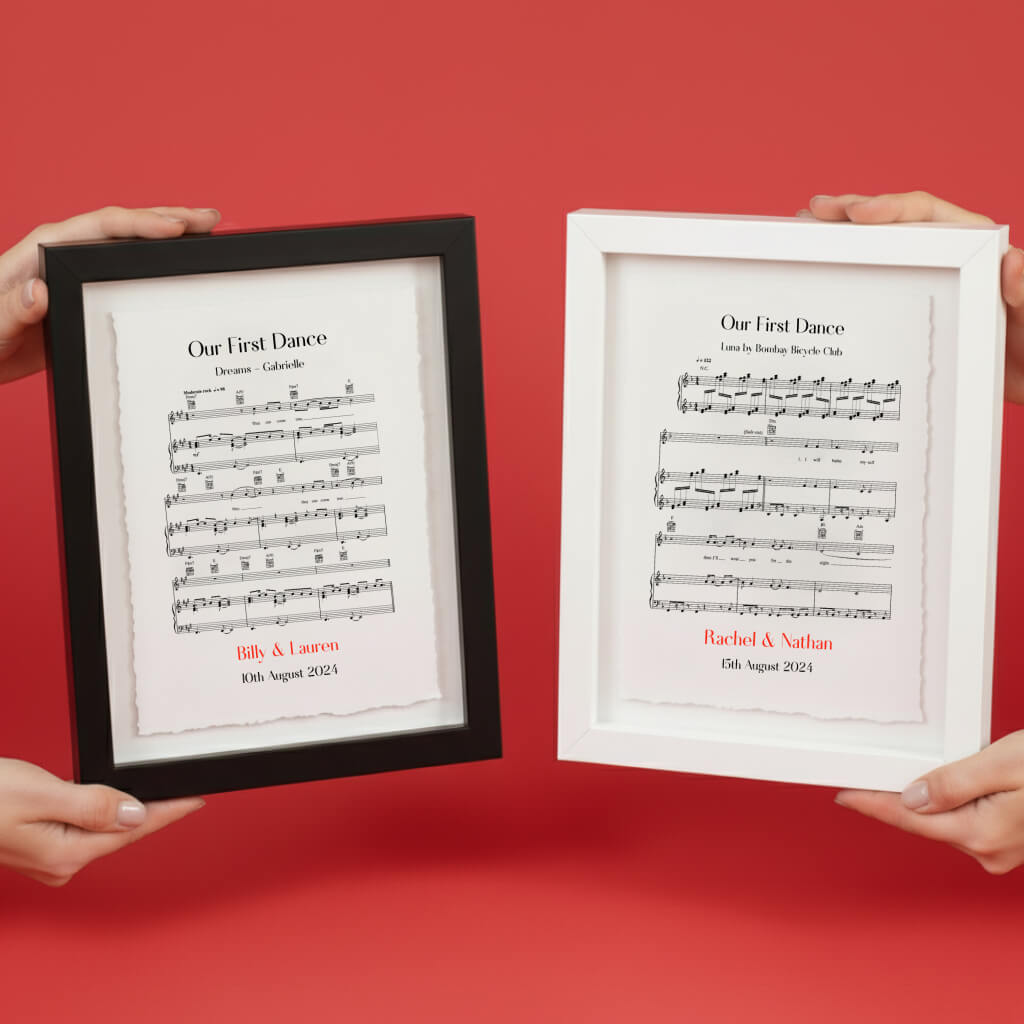
Our bespoke float mounted frame is designed specifically to show off the handmade deckled edges of the print. The artwork is float mounted onto the backing board and set inside a solid FSC wood gallery frame, so the torn edges and the depth of the cotton paper stay visible.
Coverage: England, Scotland, Wales and their associated islands. Northern Ireland is not covered by this map series.
Printed in-house in the UK on 100% sustainable cotton rag paper with a genuine deckled edge. Made to order, carefully packed and dispatched with tracked delivery.
FAQs
01. Which paper do you use?
02. How is it framed?
What makes it special